THE POWER OF DATA TO DRIVE RESILIENT AGRICULTURE IN NIGERIA
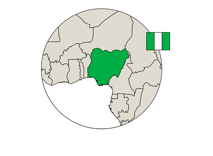
Agriculture remains the cornerstone of Nigeria's economy, constituting approximately 25% of the nation's GDP and serving as the primary employer for over 70% of the rural population engaged in farming. Despite being a vital workforce in the sector, women often face disparities in asset
ownership and wages compared to their male counterparts. The driving force behind the sector is the smallholder farmers (SHFs), comprising over 80% of the country's farming community and contributing significantly to 90% of Nigeria's total agricultural output.
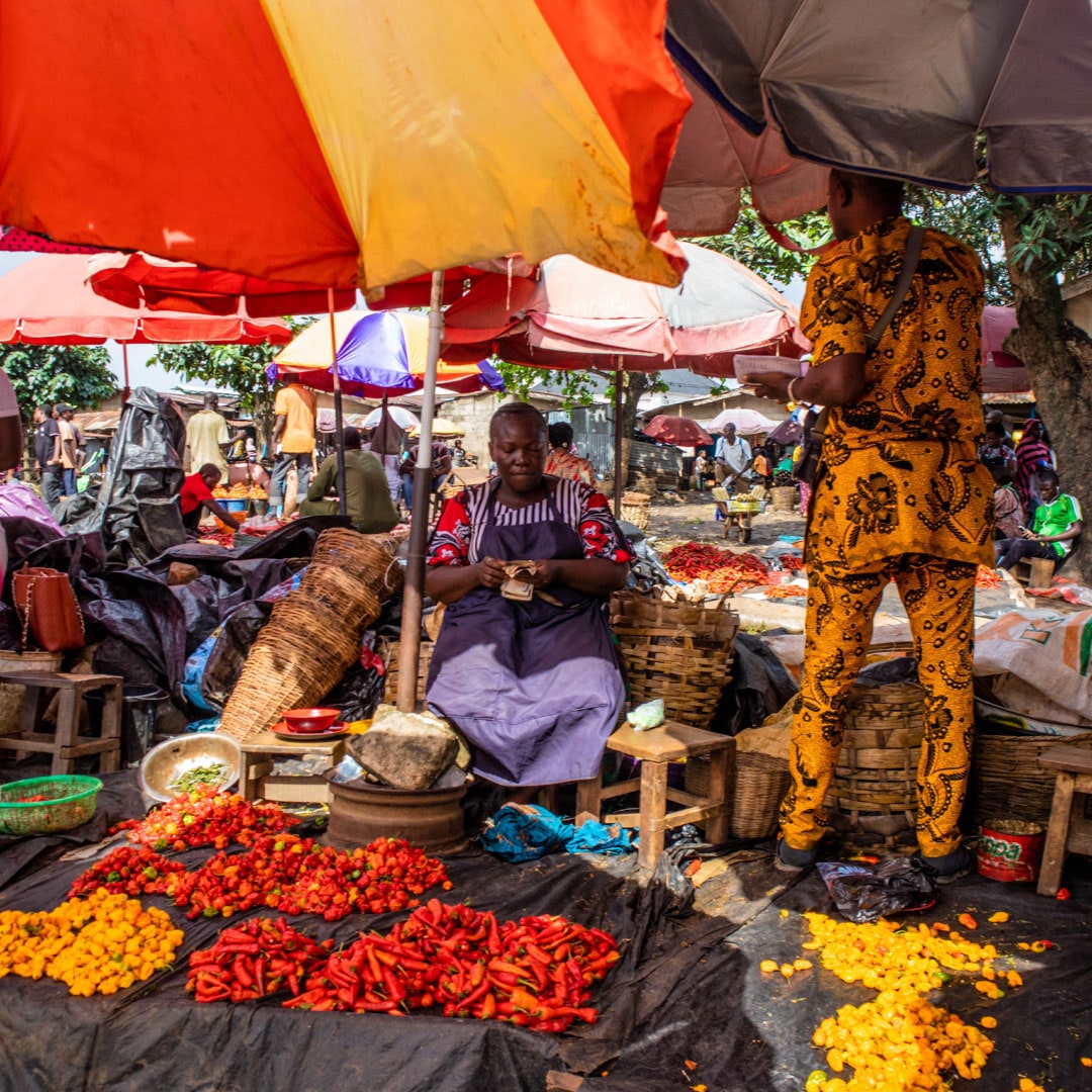
More than 40% of the fruits and vegetables cultivated in Nigeria are lost each year, primarily due to factors such as inadequate harvesting techniques, poor handling, substandard transportation, insufficient storage, a lack of value addition, and the absence of suitable storage facilities. Beyond the direct impact on farmers’ income resulting from this food loss, farmers also endure income reduction by being compelled to sell their produce at low prices during unfavourable times due to a lack of access to market information.
Benefit 200 - 500
smallholder farmers
Increase of yearly
income by 15%
Decrease of food
loss by 20%
Decrease of GHG
emissions by 50%
A Fresh Approach to Nigerian Agriculture
This case study highlights the challenges faced by Nigerian farmers regarding the post-harvest losses and income insecurity due to a lack of cold storage. ColdHubs' Cooling-as-a-Service model addresses this issue by providing temperature-controlled storage without farmers having to face ownership complexities.
Partner:

Nigeria's National Agriculture Survey yields crucial data on crop production, livestock management, land improvement, infrastructure development, rural electrification, and other sources of development using conventional and non-conventional means. However, there is a disconnect between the rising tide of information and the ability of most farmers (and other stakeholders) to use such tools to influence the agricultural supply chain. In response, Empa and BASE crafted an interactive web map using Google Earth Engine and Google
Cloud. This map amalgamates geospatial data related to Nigeria's fresh produce supply chain, depicting information such as crop production, elevation, temperature, solar radiance, predicted electricity grid lines, roads, market locations, land cover, agro-ecological zones, water scarcity, food insecurity, and mobile band coverage at the State or Local Government Area level. This tool identifies areas with significant cooling potential in Nigeria, proposing optimal locations for future cold storage rooms.


